
Layyah topographic map
Interactive map
Click on the map to display elevation.
About this map
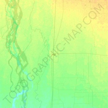
Name: Layyah topographic map, elevation, terrain.
Location: Layyah, Layyah Tehsil, Punjab, 32000, Pakistan (30.80487 70.78560 31.12487 71.10560)
Average elevation: 148 m
Minimum elevation: 139 m
Maximum elevation: 157 m
Other topographic maps
Click on a map to view its topography, its elevation and its terrain.