
Limerick topographic map
Interactive map
Click on the map to display elevation.
About this map
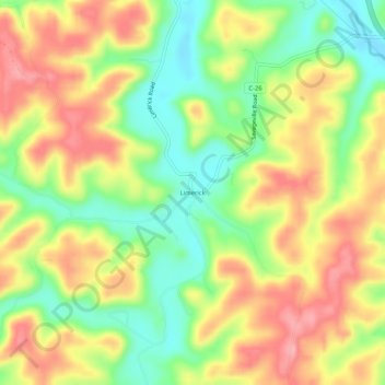
Name: Limerick topographic map, elevation, terrain.
Location: Limerick, Jackson County, Ohio, United States (39.10563 -82.77017 39.14563 -82.73017)
Average elevation: 240 m
Minimum elevation: 180 m
Maximum elevation: 299 m