
Kallody topographic map
Interactive map
Click on the map to display elevation.
About this map
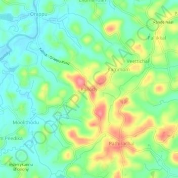
Name: Kallody topographic map, elevation, terrain.
Location: Kallody, Mananthavady, Wayanad, Kerala, 670645, India (11.74570 75.94132 11.78570 75.98132)
Average elevation: 750 m
Minimum elevation: 718 m
Maximum elevation: 806 m