
Třebíč topographic map
Interactive map
Click on the map to display elevation.
About this map
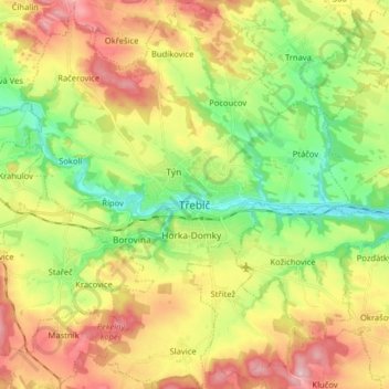
Name: Třebíč topographic map, elevation, terrain.
Location: Třebíč, okres Třebíč, Vysočina Region, Czechia (49.16576 15.81154 49.26991 15.95305)
Average elevation: 479 m
Minimum elevation: 386 m
Maximum elevation: 596 m
Other topographic maps
Click on a map to view its topography, its elevation and its terrain.