
Mäls topographic map
Interactive map
Click on the map to display elevation.
About this map
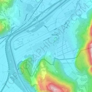
Name: Mäls topographic map, elevation, terrain.
Location: Mäls, Balzers, Oberland, 9496, Liechtenstein (47.04222 9.47451 47.08222 9.51451)
Average elevation: 558 m
Minimum elevation: 461 m
Maximum elevation: 1,096 m