
Kota Tampan topographic map
Interactive map
Click on the map to display elevation.
About this map
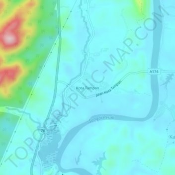
Name: Kota Tampan topographic map, elevation, terrain.
Location: Kota Tampan, Hulu Perak District, Perak, 33400, Malaysia (5.03540 100.94282 5.07540 100.98282)
Average elevation: 93 m
Minimum elevation: 53 m
Maximum elevation: 340 m