
Phoenix topographic map
Interactive map
Click on the map to display elevation.
About this map
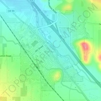
Name: Phoenix topographic map, elevation, terrain.
Location: Phoenix, Jackson County, Oregon, 97535, United States (42.26358 -122.83158 42.28502 -122.80179)
Average elevation: 469 m
Minimum elevation: 442 m
Maximum elevation: 541 m