
Glen Burnie topographic map
Interactive map
Click on the map to display elevation.
About this map
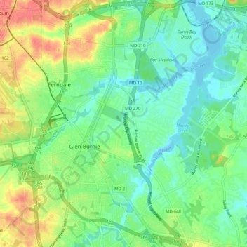
Name: Glen Burnie topographic map, elevation, terrain.
Location: Glen Burnie, Anne Arundel County, Maryland, United States (39.13129 -76.64459 39.20780 -76.56320)
Average elevation: 20 m
Minimum elevation: -2 m
Maximum elevation: 56 m