
Sant Ramon topographic map
Interactive map
Click on the map to display elevation.
About this map
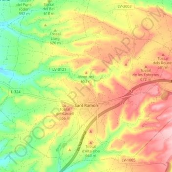
Name: Sant Ramon topographic map, elevation, terrain.
Location: Sant Ramon, Segarra, Lleida, Catalonia, 25215, Spain (41.70749 1.32295 41.75617 1.40168)
Average elevation: 626 m
Minimum elevation: 528 m
Maximum elevation: 719 m