
Schererville topographic map
Interactive map
Click on the map to display elevation.
About this map
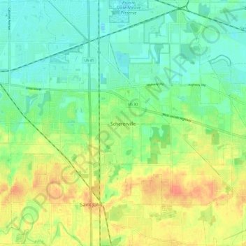
Name: Schererville topographic map, elevation, terrain.
Location: Schererville, Lake County, Indiana, 46375, United States (41.43498 -87.49351 41.52316 -87.39264)
Average elevation: 203 m
Minimum elevation: 186 m
Maximum elevation: 227 m