
Mont-Saint-Jean topographic map
Interactive map
Click on the map to display elevation.
About this map
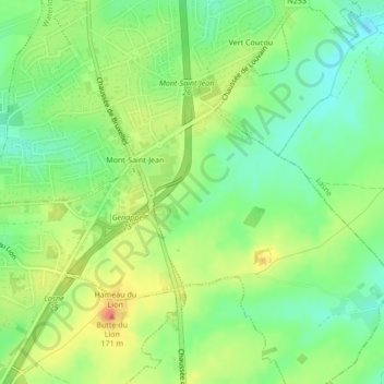
Name: Mont-Saint-Jean topographic map, elevation, terrain.
Average elevation: 117 m
Minimum elevation: 92 m
Maximum elevation: 149 m
Other topographic maps
Click on a map to view its topography, its elevation and its terrain.
Battle of Waterloo
Belgium > Walloon Brabant > Waterloo
Battle of Waterloo, Route du Lion, Waterloo, Nivelles, Walloon Brabant, Wallonia, 1410, Belgium
Average elevation: 121 m