
Hat Creek topographic map
Interactive map
Click on the map to display elevation.
About this map
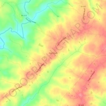
Name: Hat Creek topographic map, elevation, terrain.
Location: Hat Creek, Campbell County, Virginia, 24528, United States (37.09875 -78.92390 37.13875 -78.88390)
Average elevation: 177 m
Minimum elevation: 130 m
Maximum elevation: 209 m