
Nelliyampathy topographic map
Interactive map
Click on the map to display elevation.
About this map
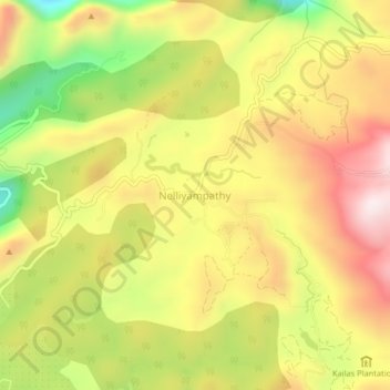
Name: Nelliyampathy topographic map, elevation, terrain.
Location: Nelliyampathy, Chittur, Palakkad district, Kerala, India (10.51492 76.67325 10.55492 76.71325)
Average elevation: 989 m
Minimum elevation: 669 m
Maximum elevation: 1,258 m