
Area F (West Howe Sound) topographic map
Interactive map
Click on the map to display elevation.
About this map
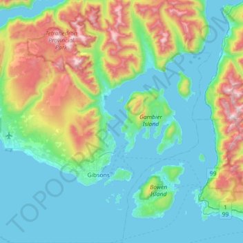
Name: Area F (West Howe Sound) topographic map, elevation, terrain.
Average elevation: 381 m
Minimum elevation: -1 m
Maximum elevation: 1,749 m