
Norborne topographic map
Interactive map
Click on the map to display elevation.
About this map
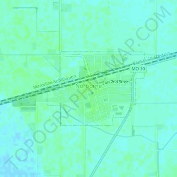
Name: Norborne topographic map, elevation, terrain.
Location: Norborne, Carroll County, Missouri, United States (39.29648 -93.68563 39.30775 -93.66643)
Average elevation: 210 m
Minimum elevation: 206 m
Maximum elevation: 213 m