
Markleeville topographic map
Interactive map
Click on the map to display elevation.
Markleeville
Markleeville hosts an annual bicycle ride called the Death Ride - Tour of the California Alps. The route goes over five passes for a total distance of 129 miles and over 15,000 feet of elevation gain. In 2010 3,500 riders participated and 2,417 completed the full course of 5 mountain passes.
About this map
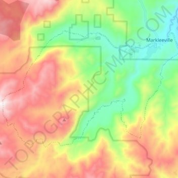
Name: Markleeville topographic map, elevation, terrain.
Location: Markleeville, Alpine County, California, United States (38.63415 -119.89450 38.70022 -119.76527)
Average elevation: 2,175 m
Minimum elevation: 1,652 m
Maximum elevation: 2,840 m