
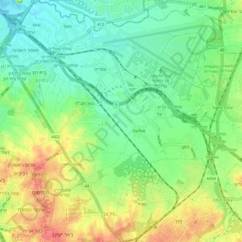
Sdot Dan Regional Council topographic map
Interactive map
Click on the map to display elevation.
About this map
Name: Sdot Dan Regional Council topographic map, elevation, terrain.
Average elevation: 46 m
Minimum elevation: 22 m
Maximum elevation: 85 m
Other topographic maps
Click on a map to view its topography, its elevation and its terrain.
Tzafria
Israel > Center District > Sdot Dan Regional Council
Tzafria, Sdot Dan Regional Council, Ramla Subdistrict, Center District, 5020000, Israel
Average elevation: 34 m