
Peora topographic map
Interactive map
Click on the map to display elevation.
About this map
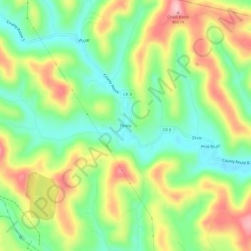
Name: Peora topographic map, elevation, terrain.
Location: Peora, Harrison County, West Virginia, 26366, United States (39.40147 -80.36481 39.44147 -80.32481)
Average elevation: 357 m
Minimum elevation: 280 m
Maximum elevation: 463 m