
Orlová topographic map
Interactive map
Click on the map to display elevation.
About this map
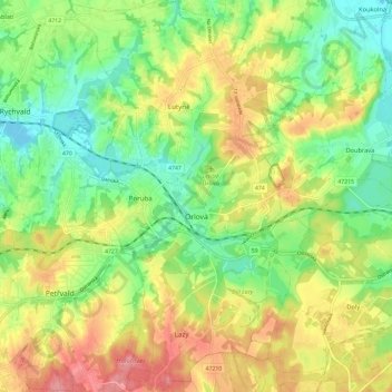
Name: Orlová topographic map, elevation, terrain.
Average elevation: 250 m
Minimum elevation: 208 m
Maximum elevation: 304 m
The name is most probably possessive in origin, derived from the personal name Orel (Czech) (Orzeł in Polish), the same as eagle in English, although it may also be of topographic origins.