
Tuckerton topographic map
Interactive map
Click on the map to display elevation.
About this map
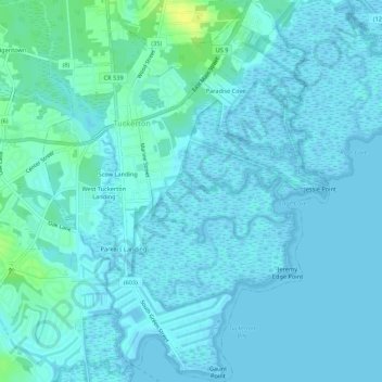
Name: Tuckerton topographic map, elevation, terrain.
Location: Tuckerton, Ocean County, New Jersey, United States (39.57531 -74.35071 39.61690 -74.31025)
Average elevation: 3 m
Minimum elevation: -3 m
Maximum elevation: 19 m
Other topographic maps
Click on a map to view its topography, its elevation and its terrain.
Story Island Channel
United States > New Jersey > Ocean County > Little Egg Harbor Township
Average elevation: 0 m