
Ban Mon Hin Lek Fai topographic map
Interactive map
Click on the map to display elevation.
About this map
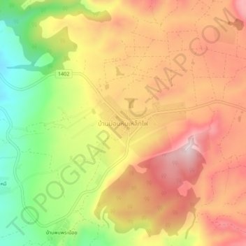
Name: Ban Mon Hin Lek Fai topographic map, elevation, terrain.
Location: Ban Mon Hin Lek Fai, Tak Province, Thailand (16.54888 98.64310 16.58888 98.68310)
Average elevation: 519 m
Minimum elevation: 294 m
Maximum elevation: 697 m