
Tha Kham topographic map
Interactive map
Click on the map to display elevation.
About this map
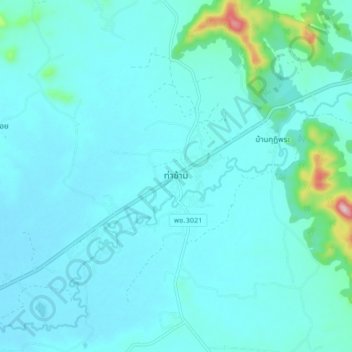
Name: Tha Kham topographic map, elevation, terrain.
Location: Tha Kham, Phetchabun Province, Thailand (16.11537 100.75406 16.19537 100.83406)
Average elevation: 103 m
Minimum elevation: 73 m
Maximum elevation: 353 m