
Tidwer topographic map
Interactive map
Click on the map to display elevation.
About this map
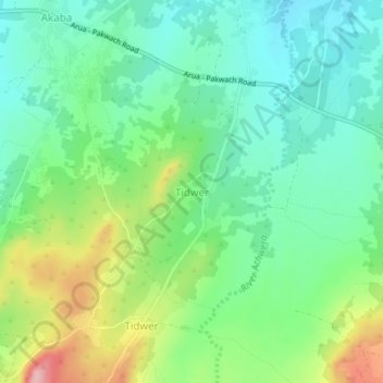
Name: Tidwer topographic map, elevation, terrain.
Location: Tidwer, Nebbi, Northern Region, Uganda (2.45209 31.14289 2.49209 31.18289)
Average elevation: 985 m
Minimum elevation: 929 m
Maximum elevation: 1,104 m