
Kampung Sungai Bemban topographic map
Interactive map
Click on the map to display elevation.
About this map
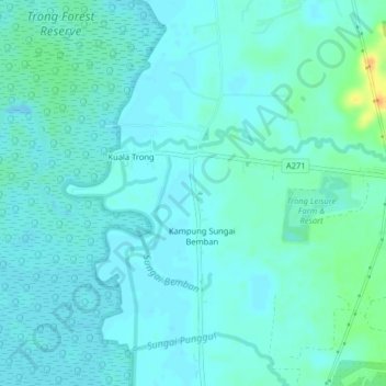
Name: Kampung Sungai Bemban topographic map, elevation, terrain.
Location: Kampung Sungai Bemban, Perak, Malaysia (4.68887 100.67465 4.72887 100.71465)
Average elevation: 6 m
Minimum elevation: -4 m
Maximum elevation: 34 m