
Jasper topographic map
Interactive map
Click on the map to display elevation.
About this map
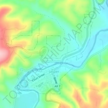
Name: Jasper topographic map, elevation, terrain.
Location: Jasper, Newton County, Arkansas, United States (36.00242 -93.19793 36.02235 -93.17431)
Average elevation: 306 m
Minimum elevation: 241 m
Maximum elevation: 431 m