
Whaplode Drove topographic map
Interactive map
Click on the map to display elevation.
About this map
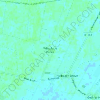
Name: Whaplode Drove topographic map, elevation, terrain.
Average elevation: 3 m
Minimum elevation: -1 m
Maximum elevation: 6 m
Other topographic maps
Click on a map to view its topography, its elevation and its terrain.
Shepeau Stow
United Kingdom > England > Lincolnshire > South Holland > Whaplode Drove
Shepeau Stow, Whaplode CP, Whaplode Drove, South Holland, Lincolnshire, England, PE12 0UA, United Kingdom
Average elevation: 2 m