
Warner topographic map
Interactive map
Click on the map to display elevation.
About this map
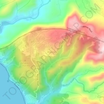
Name: Warner topographic map, elevation, terrain.
Location: Warner, Saint Paul Parish, Dominica (15.37153 -61.41432 15.41153 -61.37432)
Average elevation: 213 m
Minimum elevation: 0 m
Maximum elevation: 509 m