
Wales topographic map
Interactive map
Click on the map to display elevation.
About this map
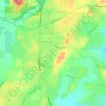
Name: Wales topographic map, elevation, terrain.
Location: Wales, Waukesha County, Wisconsin, 53183, United States (42.98463 -88.39965 43.01748 -88.34038)
Average elevation: 302 m
Minimum elevation: 270 m
Maximum elevation: 347 m
Other topographic maps
Click on a map to view its topography, its elevation and its terrain.
Menomonee Falls
United States > Wisconsin > Waukesha County > Menomonee Falls
Average elevation: 260 m