
Navasota topographic map
Interactive map
Click on the map to display elevation.
About this map
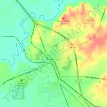
Name: Navasota topographic map, elevation, terrain.
Location: Navasota, Grimes County, Texas, 77868, United States (30.35412 -96.12168 30.43092 -96.05787)
Average elevation: 71 m
Minimum elevation: 49 m
Maximum elevation: 105 m