
Hampden topographic map
Interactive map
Click on the map to display elevation.
About this map
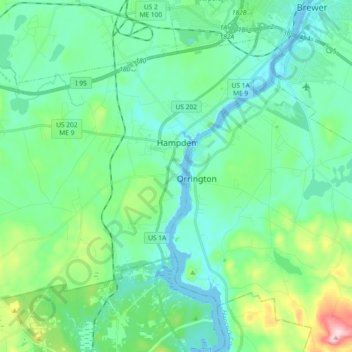
Name: Hampden topographic map, elevation, terrain.
Location: Hampden, Penobscot County, Maine, United States (44.68068 -68.96519 44.78338 -68.78128)
Average elevation: 53 m
Minimum elevation: -6 m
Maximum elevation: 254 m