
Shelby topographic map
Interactive map
Click on the map to display elevation.
About this map
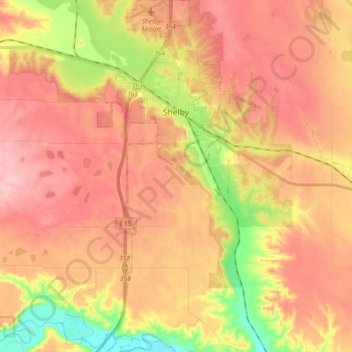
Name: Shelby topographic map, elevation, terrain.
Location: Shelby, Toole County, Montana, United States (48.42161 -111.91744 48.54452 -111.82365)
Average elevation: 1,032 m
Minimum elevation: 940 m
Maximum elevation: 1,092 m