
Padang Serai topographic map
Interactive map
Click on the map to display elevation.
About this map
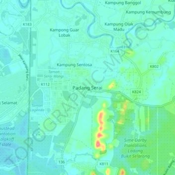
Name: Padang Serai topographic map, elevation, terrain.
Location: Padang Serai, Kulim, Kedah, 09400, Malaysia (5.47267 100.51463 5.55267 100.59463)
Average elevation: 13 m
Minimum elevation: 1 m
Maximum elevation: 73 m