
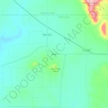
Silver topographic map
Interactive map
Click on the map to display elevation.
About this map
Name: Silver topographic map, elevation, terrain.
Location: Silver, Coke County, Texas, United States (32.05089 -100.70281 32.09089 -100.66281)
Average elevation: 642 m
Minimum elevation: 600 m
Maximum elevation: 787 m