
Weal topographic map
Interactive map
Click on the map to display elevation.
About this map
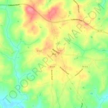
Name: Weal topographic map, elevation, terrain.
Location: Weal, Pittsylvania County, Virginia, 24531, United States (36.80486 -79.47753 36.84486 -79.43753)
Average elevation: 240 m
Minimum elevation: 192 m
Maximum elevation: 288 m