
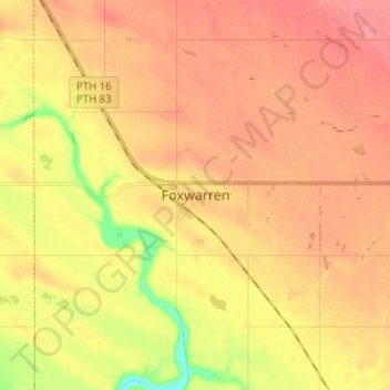
Foxwarren topographic map
Interactive map
Click on the map to display elevation.
About this map
Name: Foxwarren topographic map, elevation, terrain.
Location: Foxwarren, Manitoba, Canada (50.47829 -101.18799 50.55829 -101.10799)
Average elevation: 533 m
Minimum elevation: 489 m
Maximum elevation: 557 m