
Pa Sang topographic map
Interactive map
Click on the map to display elevation.
About this map
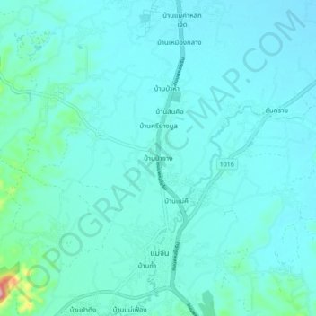
Name: Pa Sang topographic map, elevation, terrain.
Location: Pa Sang, Chiang Rai Province, Thailand (20.13126 99.81278 20.21126 99.89278)
Average elevation: 415 m
Minimum elevation: 392 m
Maximum elevation: 617 m