
Wey Valley topographic map
Interactive map
Click on the map to display elevation.
About this map
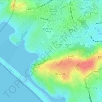
Name: Wey Valley topographic map, elevation, terrain.
Average elevation: 18 m
Minimum elevation: -2 m
Maximum elevation: 67 m
Other topographic maps
Click on a map to view its topography, its elevation and its terrain.
Chesil Beach
United Kingdom > England > Chickerell > Wyke Regis
Chesil Beach, Fleet, Wyke Regis, Chickerell, Dorset, South West England, England, United Kingdom
Average elevation: 13 m