
Malé Atoll topographic map
Interactive map
Click on the map to display elevation.
About this map
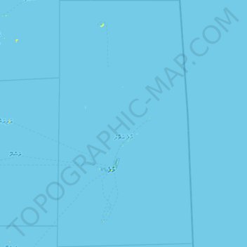
Name: Malé Atoll topographic map, elevation, terrain.
Location: Malé Atoll, Maldives (3.76343 73.21669 5.09211 73.95015)
Average elevation: 0 m
Minimum elevation: 0 m
Maximum elevation: 11 m
Other topographic maps
Click on a map to view its topography, its elevation and its terrain.
Dhiyamigili
Maldives > Kolhumadulu > Madifushi
Dhiyamigili, Madifushi, Kolhumadulu, Maldives
Average elevation: 0 m
Dhonmanik Olhu
Maldives > ތިލަދުންމަތީ ދެކުނުބުރި
Dhonmanik Olhu, ތިލަދުންމަތީ ދެކުނުބުރި, Maldives
Average elevation: 1 m
Southern Maalhosmadulhu Atoll
Southern Maalhosmadulhu Atoll, Sosun Magu, Baa, Maldives
Average elevation: 0 m
Finolhu Baa Atoll
Maldives > Maalhosmadulu Dhekunuburi
Finolhu Baa Atoll, Maalhosmadulu Dhekunuburi, Maldives
Average elevation: 0 m