
Urbandale topographic map
Interactive map
Click on the map to display elevation.
About this map
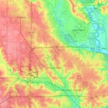
Name: Urbandale topographic map, elevation, terrain.
Location: Urbandale, Polk County, Iowa, United States (41.61471 -93.87234 41.67278 -93.69762)
Average elevation: 279 m
Minimum elevation: 236 m
Maximum elevation: 313 m