
Singha Park topographic map
Interactive map
Click on the map to display elevation.
About this map
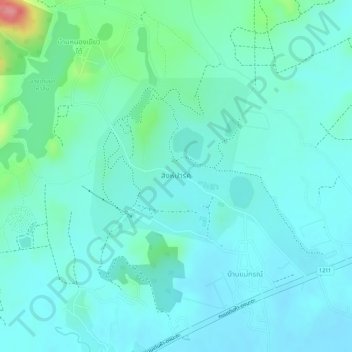
Name: Singha Park topographic map, elevation, terrain.
Location: Singha Park, Ban Mae Gon, Chiang Rai Province, Thailand (19.85232 99.72536 19.86746 99.74468)
Average elevation: 438 m
Minimum elevation: 417 m
Maximum elevation: 519 m