
Ry topographic map
Interactive map
Click on the map to display elevation.
About this map
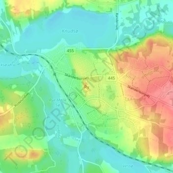
Name: Ry topographic map, elevation, terrain.
Location: Ry, Skanderborg Municipality, 8680, Denmark (56.07358 9.74338 56.11358 9.78338)
Average elevation: 45 m
Minimum elevation: 16 m
Maximum elevation: 97 m