
Momence topographic map
Interactive map
Click on the map to display elevation.
About this map
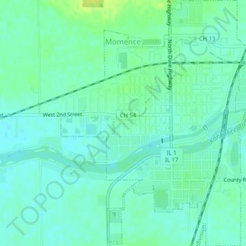
Name: Momence topographic map, elevation, terrain.
Location: Momence, Kankakee County, Illinois, United States (41.14964 -87.68202 41.17674 -87.65123)
Average elevation: 193 m
Minimum elevation: 187 m
Maximum elevation: 205 m