
Derby topographic map
Interactive map
Click on the map to display elevation.
About this map
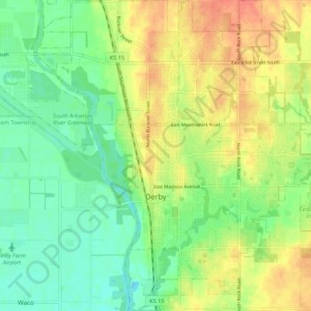
Name: Derby topographic map, elevation, terrain.
Location: Derby, Sedgwick County, Kansas, United States (37.51865 -97.28138 37.58457 -97.22203)
Average elevation: 392 m
Minimum elevation: 372 m
Maximum elevation: 415 m