
Hartwell topographic map
Interactive map
Click on the map to display elevation.
About this map
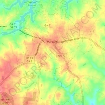
Name: Hartwell topographic map, elevation, terrain.
Location: Hartwell, Hart County, Georgia, United States (34.31856 -82.95805 34.37518 -82.89979)
Average elevation: 228 m
Minimum elevation: 192 m
Maximum elevation: 258 m