
Warhaniyeh topographic map
Interactive map
Click on the map to display elevation.
About this map
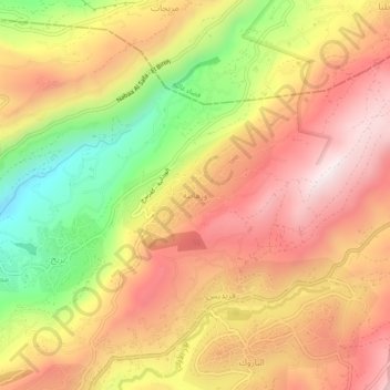
Name: Warhaniyeh topographic map, elevation, terrain.
Location: Warhaniyeh, Chouf District, Mount Lebanon Governorate, Lebanon (33.70125 35.65419 33.74125 35.69419)
Average elevation: 1,054 m
Minimum elevation: 640 m
Maximum elevation: 1,359 m