
Saint Agatha topographic map
Interactive map
Click on the map to display elevation.
About this map
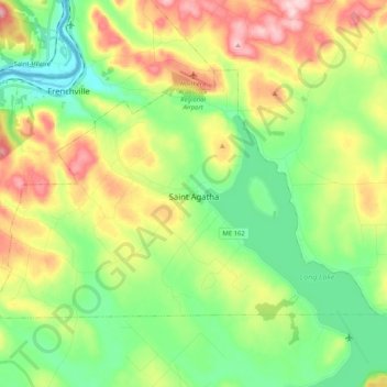
Name: Saint Agatha topographic map, elevation, terrain.
Location: Saint Agatha, Aroostook County, Maine, 04772, United States (47.19923 -68.42098 47.28872 -68.21544)
Average elevation: 226 m
Minimum elevation: 141 m
Maximum elevation: 362 m