
Kanding topographic map
Interactive map
Click on the map to display elevation.
About this map
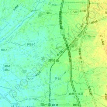
Name: Kanding topographic map, elevation, terrain.
Location: Kanding, Pingtung County, 924, Taiwan (22.48942 120.46549 22.54752 120.53013)
Average elevation: 9 m
Minimum elevation: 0 m
Maximum elevation: 20 m