
Wellston topographic map
Interactive map
Click on the map to display elevation.
About this map
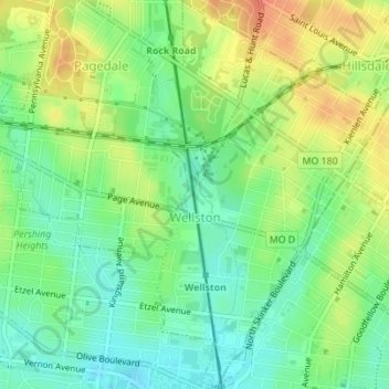
Name: Wellston topographic map, elevation, terrain.
Location: Wellston, Saint Louis County, Missouri, United States (38.66109 -90.30261 38.68777 -90.28144)
Average elevation: 168 m
Minimum elevation: 148 m
Maximum elevation: 193 m