
Fairhope topographic map
Interactive map
Click on the map to display elevation.
Fairhope
According to the U.S. Census Bureau, the city has a total area of 12.0 square miles (31.1 km2), of which 0.019 square mile (0.05 km2), or 0.16%, is water. Its elevation ranges from sea level at the bay to 122 feet (37 m) in the city center.
About this map
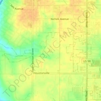
Name: Fairhope topographic map, elevation, terrain.
Location: Fairhope, Baldwin County, Alabama, United States (30.50743 -87.89792 30.50830 -87.89704)
Average elevation: 35 m
Minimum elevation: 13 m
Maximum elevation: 45 m