
Briggston topographic map
Interactive map
Click on the map to display elevation.
About this map
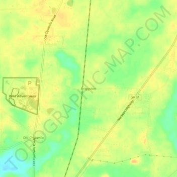
Name: Briggston topographic map, elevation, terrain.
Location: Briggston, Lowndes County, Georgia, 31603, United States (30.70159 -83.32571 30.74159 -83.28571)
Average elevation: 59 m
Minimum elevation: 41 m
Maximum elevation: 69 m